My second day on the TMB was the only part of the trail with no descent at all (apart from a few steps down now and then). It was one long climb from the village of Contamines all the way up to the stunning Lacs Jovet.
Day 2: Les Contamines to Les Lacs Jovet
Start: Les Contamines, Hotel Le Christiania
End: Les Lacs Jovet (wild camping)
Distance: 12,7 km (7,9 miles)
Highest point: Lacs Jovet 2.203 m (7,227 ft)
Elevation gain: 1.094 m (3,589 ft)
Elevation loss: 10 m (32 ft)
Time: 3:30 hrs moving time; 6:15 hrs total time
Date: August 13, 2019
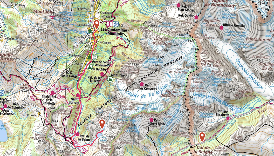
TMB Day 2, map by France IGN Topo / Gaia GPS
Les Contamines to Nant Borrant
After a long night and very deep sleep in Hotel Christiania in Les Contamines, I prepared a rice pudding breakfast on the balcony of my room. I took it easy this morning and at 9:30 I walked out of my hotel, found the trail on the other side of the river and continued the Tour du Mont Blanc. The trail followed the river upstream, and about half an hour later I passed the campsite Le Pontet and the adjacent Parc de Loisirs (leisure park) on the lakeside.
Now the trail swerved away from the river for about an hour, until it bent back to the water and passed the Notre Dame de la Gorge, a small church in a nice green meadow.
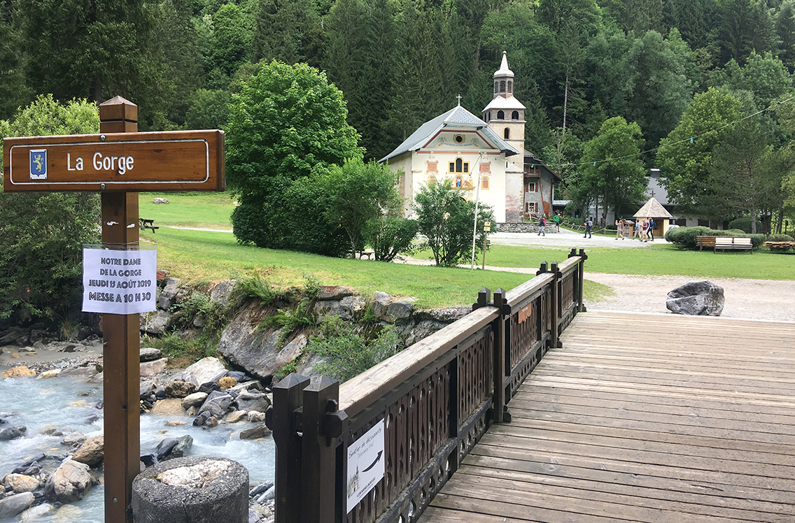
A perfect spot for a break. Contrary to Kev Reynolds guide, the little café was not there anymore, the building looked abandoned. But I was packed with food, and I had a Snickers-break at one of the wooden benches in front of the church.
Leaving the church, the trail went up very steep. This was the old Roman road that eventually leads to the Col du Bonhomme. The big slabs of stone were laid here in Roman times, a fact that doesn’t stop to amaze me.
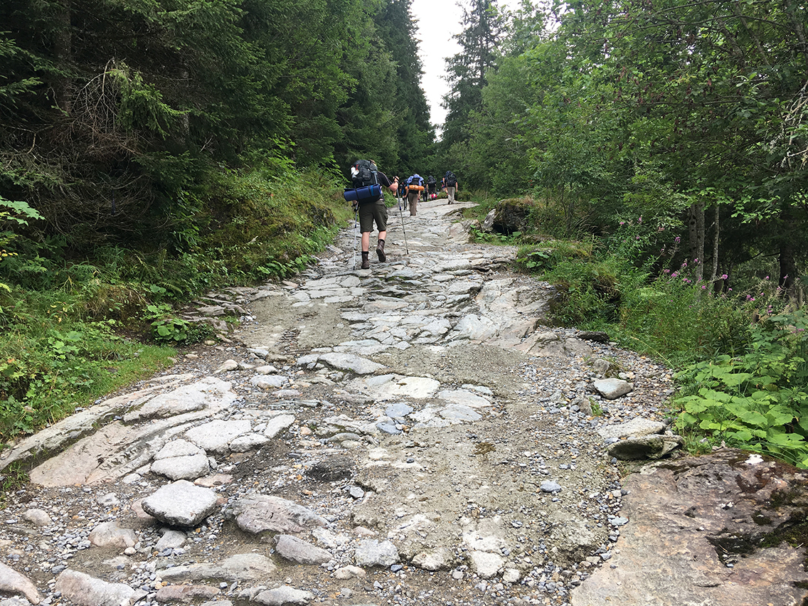
The Roman road did not resemble a road so much, but was a very rough and rocky path. It went all the way from the chapel to the refuge Nant Borrant. About one hour up the Roman road, there is a beautiful natural bridge (watch for the sign). I climbed way down to the river to get a better view, but left my backpack and trekking poles behind: it’s is a short scramble that requires both of your hands. It’s worth climbing down because thats the only place where you can actually see the water working its self through a rocky arch.
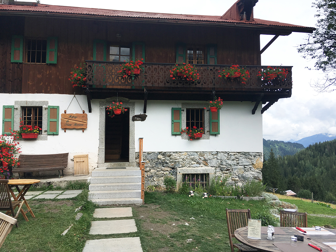
Refuge Le Nant Borrant
Shortly after the natural bridge, the trail crosses a human built (or should I say Roman built) bridge. Just like the granite slab road, it is so amazing how something constructed so long ago is still in use today.
From the bridge it’s just a few minutes to today’s first refuge: Le Nant Borrant. A very pleasant house on a sunny hill, with tables and chairs neatly placed for all hikers to enjoy. Time for a cup of hot chocolate with a view back to the valley that I left this morning.
Val Montjoie
Just after Nant Borrant you enter the Réserve Naturelle de Contamines-Montjoie, and rightly so because from this point I finally got the feeling that I was doing a hike in nature. The valley of Montjoie opened up before me, with mighty mountains touching the clouds. What a sight.
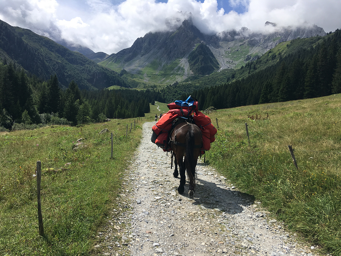
Val Montjoie with the Aguille de la Pennaz in the clouds.
The trail did get a bit busy though, especially with one big group that used a mule to carry al their heavy stuf. I have to say that after hiking in the remote wilderness of Kings Canyon and Sequoia National Park, California, last year, I had to get used seeing so many other hikers on the TMB. Looking at things from a positive side though, I did meet some very nice people on the trail and with all the hikers in front of me, I never had to think about where the trail was going.
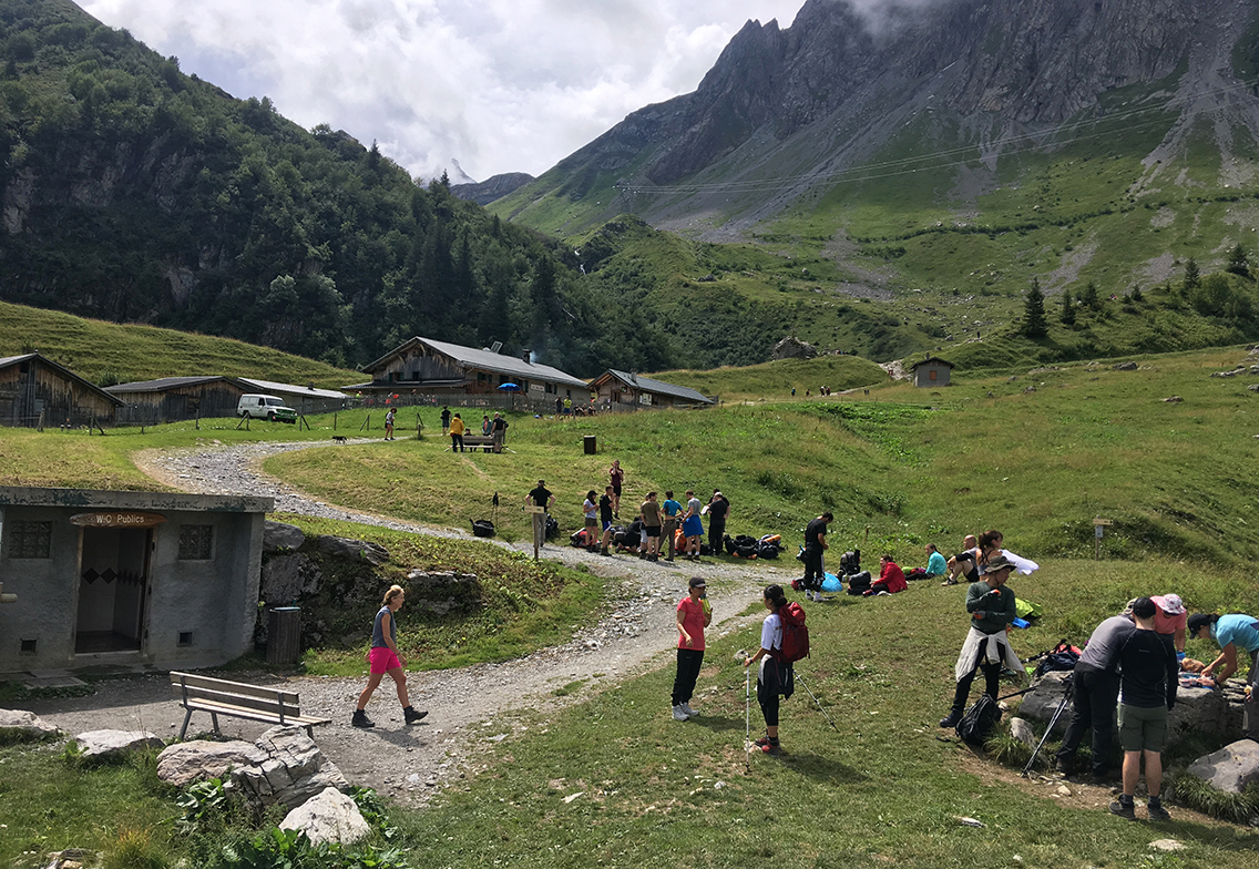
Refuge de la Balme
The hike through the valley was beautiful, in every direction I looked there were huge mountains. Within an hour I reached Refuge de la Balme (not to be confused with the Col de Balme refuge on the other side of the Mont Blanc Massif, to be reached on day 8). Just before the refuge there is a public toilet on the left, with fresh water supply. On the right side there is a ‘bivouac’ field for TMB hikers to pitch their tents. But I had other plans, further up the trail.
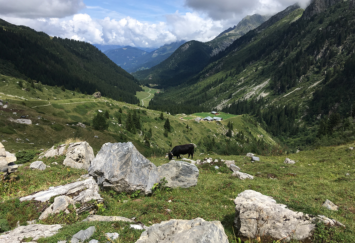
Looking back to Val de Montjoie and the Refuge col de la Balme.
The next hour or so the trail was taking me higher and higher, the views were getting better and better, despite the clouds accumulating now. I met fellow-hikers John and Grace again, as well as a group of British guys that I also met yesterday at Col de Voza.
Les Lacs Jovet
The trail went steep up the mountains now, reaching a giant electricity pylon. Here I took a little side trail to the left, taking me to a small waterfall and stream, where I rested my overheated feet in the cold water.
Back to the main trail, it was just a short walk to the Plan Jovet crossing. Hiking up I tried to get a view of the Col du Bonhomme, tomorrows first challenge, but it was all in the clouds.
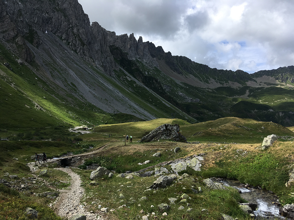
Looking back from the Plan Jovet crossing.
At the crossing I turned left, up the meadows of Plan Jovet, for one last hour of hiking to the lakes. The trail became more quiet, as if to prepare me for the view of the majestic lake later on. No more than a dozen hikers here and there, some coming down from the lake, a few going up.
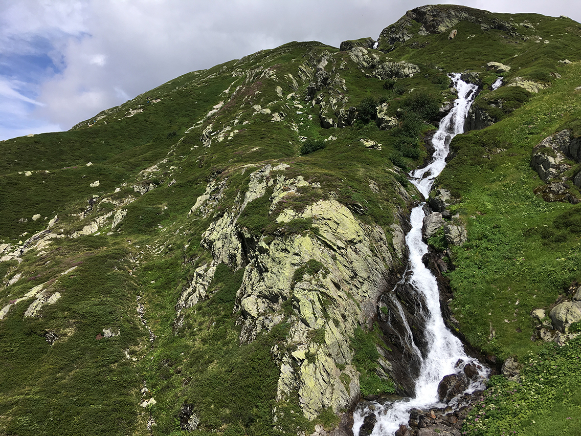
A beautiful waterfall coming down from the lakes at Plan Jovet.
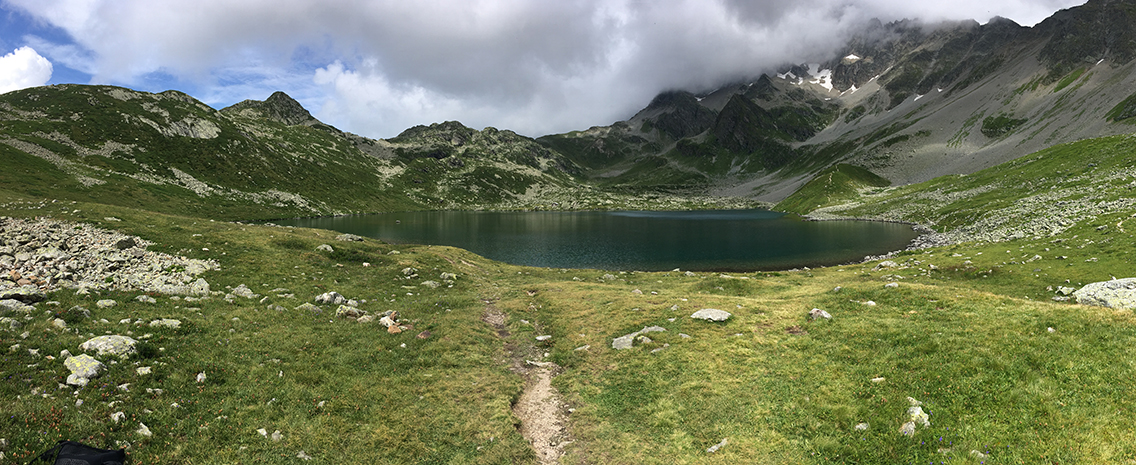
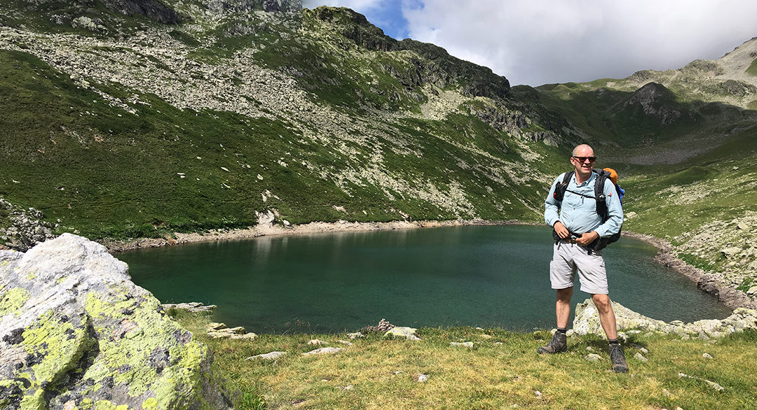
Then the first lake come into view: tuquoise coloured water of the clearest kind lying silent behind a wall of rock. A group of three was at the lakeside, one of them took a dive in the apperently very cold water.
Wild Camp at Lac Superieur
I walked to the left, all around the first lake to a small wooden shed on the opposite side. From there a small trail led to the Lac Superieur, a smaller lake but just as impressive (see photo above this page).
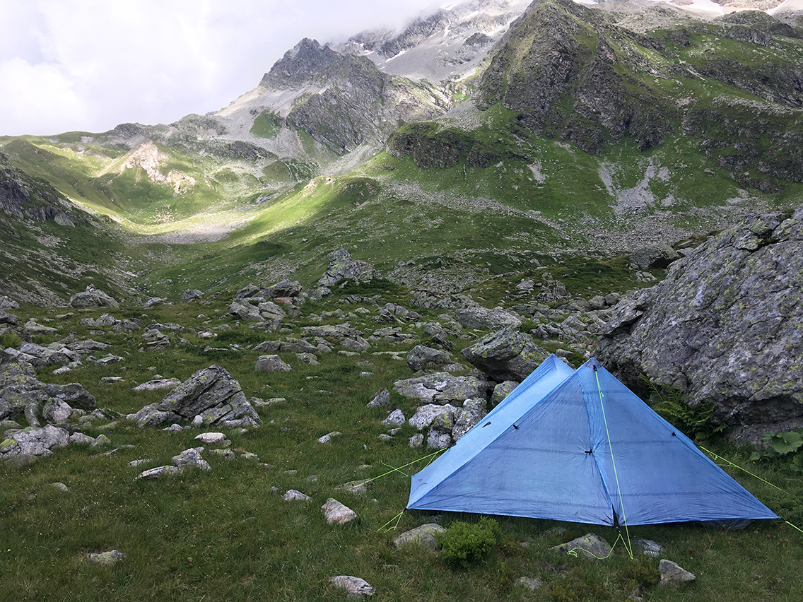
No official campsite at the lakes, but I knew that it was a good spot for wild camping here. It was pretty hard to find a level site without rocks, that was also a bit secluded from the wind. I found a spot a bit higher between both lakes, behind a big rock. As the sun was setting, the sky became more and more clouded. I descended to the superior lake to get me some water.
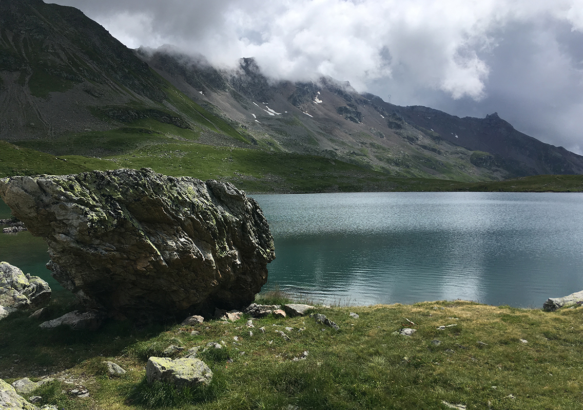
Unfortunately my water filter was clogged somehow. I didn’t get a drop of water out of it. Luckily I still had about one liter of clean water with me. All the water for cooking I could take from the lake unfiltered anyway, as I would be cooking the water anyway. But I did worry a bit for the next day, as there would be no water source until the refuge way up the next two mountain passes. I know a lot of people drink water straight from the streams and lakes, but as Plan Jovet actually hosts a herd of sheep, I did not want to take any risk drinking contaminated water.
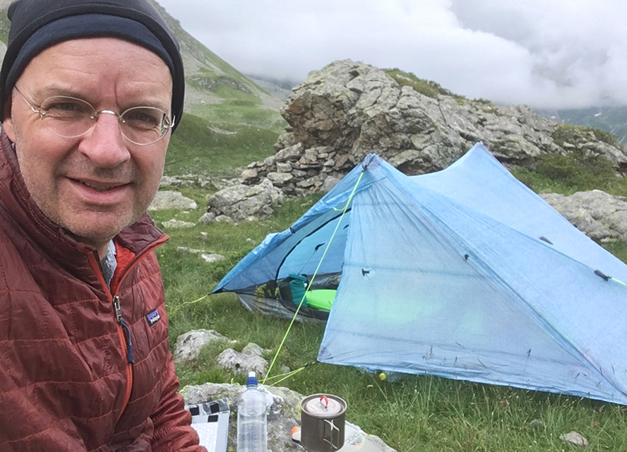
Anyway, I cooked my water, had my freeze-dried Pad Thai meal, sitting on a big rock overlooking the lake. I heard the birds songs echoing to the huge mountain walls surrounding me. What a fantastic way to end this second day on the TMB.
> Next, day 3: Les Lacs Jovet – Col de la Seigne
< Previous, day 1: Les Houches – Les Contamines

0 Comments