Switzerland
I have been visiting the Swiss Alps since I was a kid and the mountains still capture my heart. Read about the hikes I did here.
Haute Route 5: Cabane de Moiry
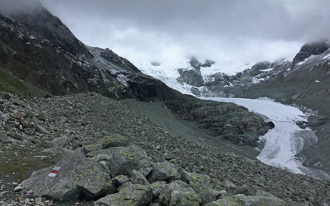
Day 5 on the Haute route was a day of rain, snow and mist. And because of poor visibility quite demanding. Especially the climb up to Cabane de Moiry on a rocky zig zag path with 29 turns in complete mist was exhausting – but beautiful.
Haute Route 4: Les Haudères
A demanding fourth day on the Haute Route. After an easy stroll along Lac des Dix, a steep ascent took me to rough and misty terrain full of rocks, under heavy clouds – with sometimes no trail at all. Halfway I encountered the challenging ladder section at Pas de Chèvres. After that, it was all the way down for hours.
Haute Route 3: Lac des Dix
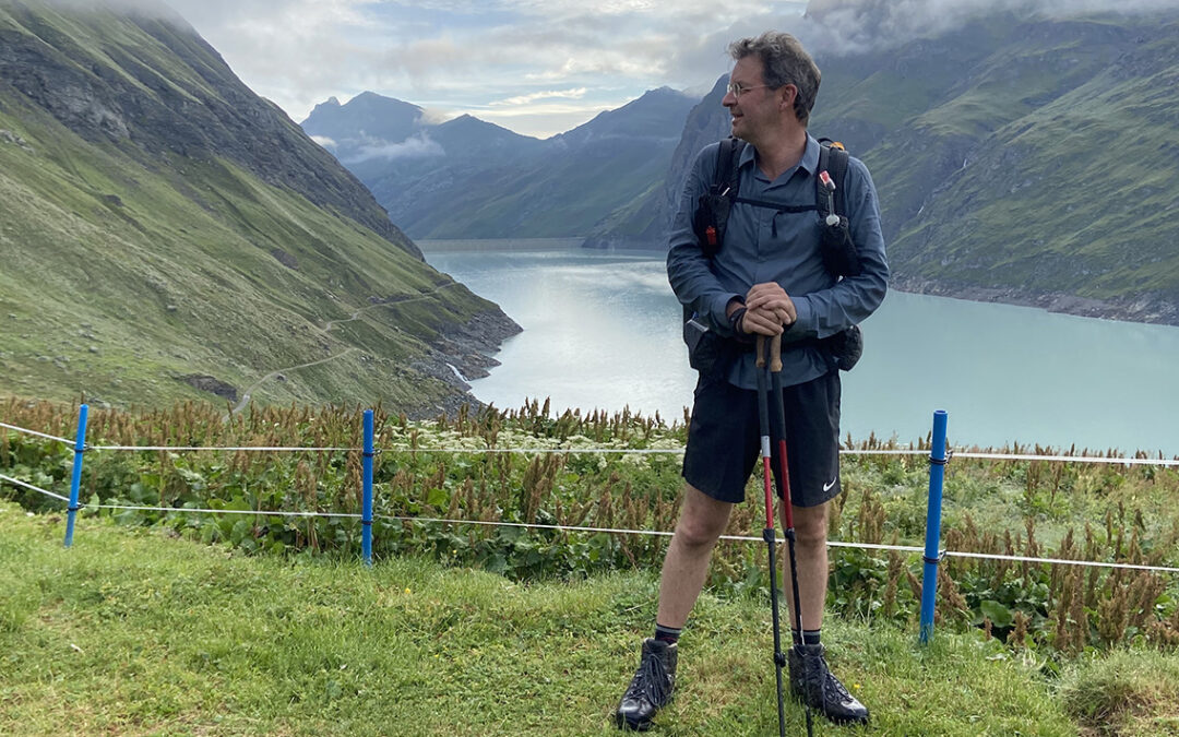
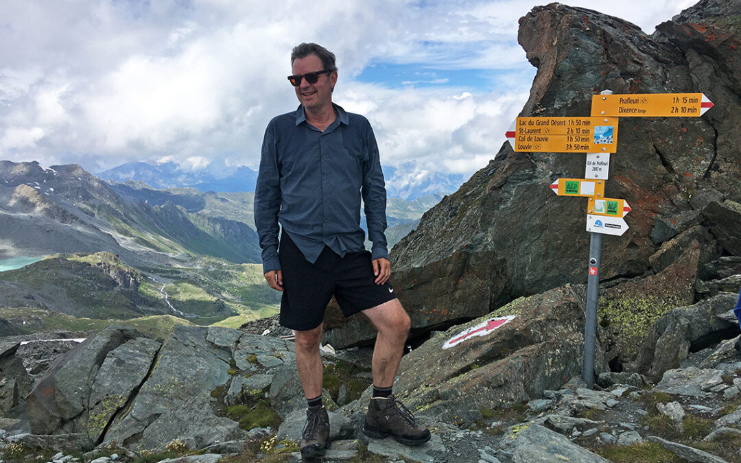
An amazing third day on the Haute Route. I climbed four mountain passes, sled down a snowfield and crossed glacial waters. On the way there were turqoise lakes, a herd of ibex and I reached the highest elevation of the entire Haute Route.
Haute Route 2: Cabane du Mont Fort
My second day on the Haute Route was a full day of ascending, with exciting views of the Massif du Mont Blanc and the snowy peak of Le Grand Combin. Gaining more than 1.600 meter in elevation, I reached Cabane du Mont Fort early in the afternoon.
Haute Route 1: Prologue
The Haute Route, also known as the Chamonix-Zermatt Trail, shares the first 3 sections with the Tour du Mont Blanc, but then continues east into the high mountains. I started my thru-hike in a lovely quiet and green valley as a prologue to another 10 days of desolate fields of glacial rock, almost 3000 meter high alpine passes and stunning views.
TMB Day 8: Up and Down Col de Balme
Day 8 of the Tour du Mont Blanc was wet, cold …and short. I hiked up to the Refuge du Col de Balme, where I warmed up and made plans for the rest of this rainy day. Then I hiked down to the valley to the first hotel that had a room available. The day ended nicely though, with 4 fellow TMB hikers in an Argentière bar.
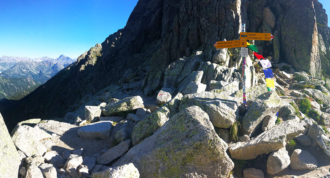
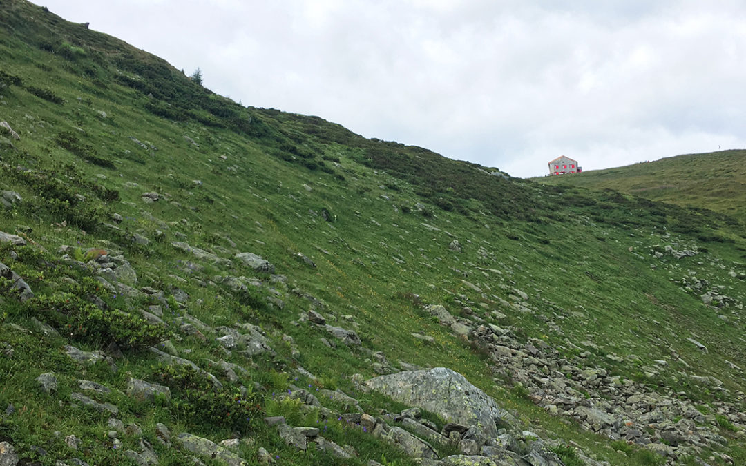
TMB Day 7: Fenêtre d’Arpette
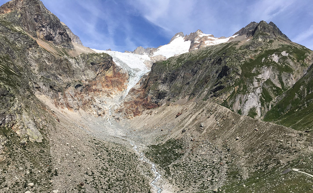
Day 7 of my Tour du Mont Blanc was the most impressive day of the tour, and one of the most spectaculair hikes I have done. More than a 2.000 meters up and down a very steep and rough trail, with an hour of scrambling boulders… and sometimes no trail at all.
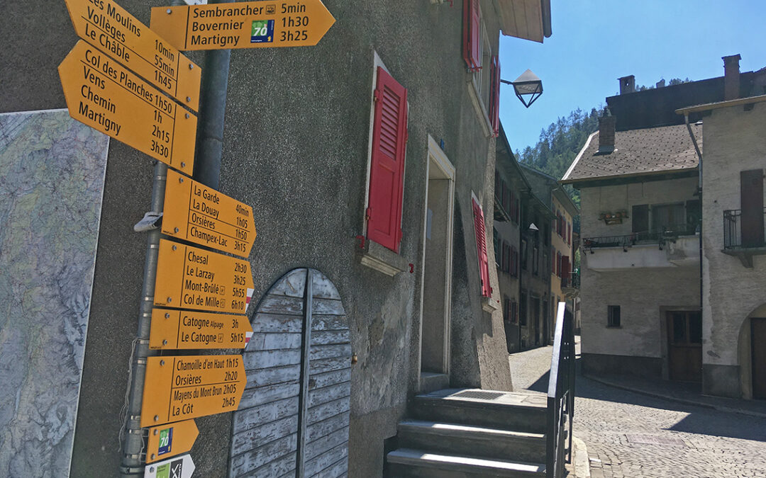
TMB day 6: the Swiss Val Ferret
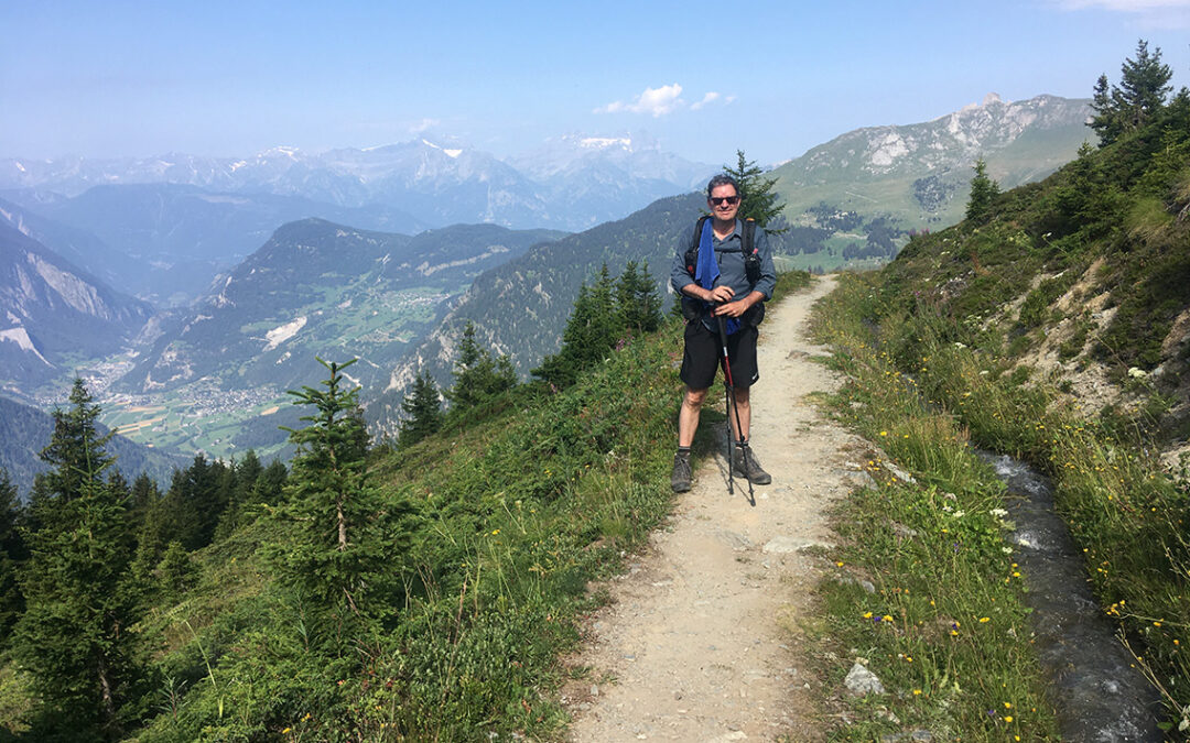
My sixth day on the Tour du Mont Blanc turned out to be the easiest part of the entire thru-hike so far. The Swiss Val Ferret has a very moderate elevation change, sweet green pastures and a nice cold lake at the end in Champex.
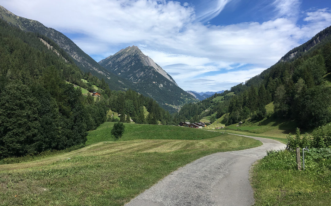
TMB Day 5: to Switzerland
Day 5 of the Tour the Mont Blanc was beautiful and not too hard. I hiked up the Italian Val Ferret to connect with the official TMB again, climbed up the mountains and crossed the Grand Col de Ferret into Switzerland.
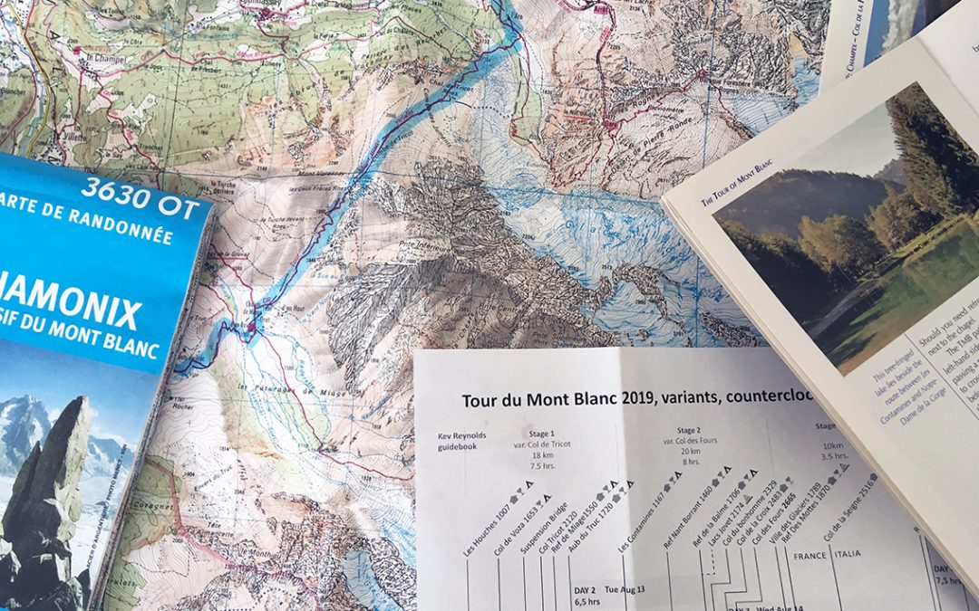
Planning the Tour du Mont Blanc
With a length of 172 kilometer / 107 miles the Tour du Mont Blanc (TMB) seems very similar to the SEKI Loop I hiked in California last summer (104.7 miles / 168,5 km). But the altitude is much lower, the climate different and I also expect to see a lot more people on the trail this summer.